Glossary
Persian Gulf: Geography, History, Natural Features, and Modern Role
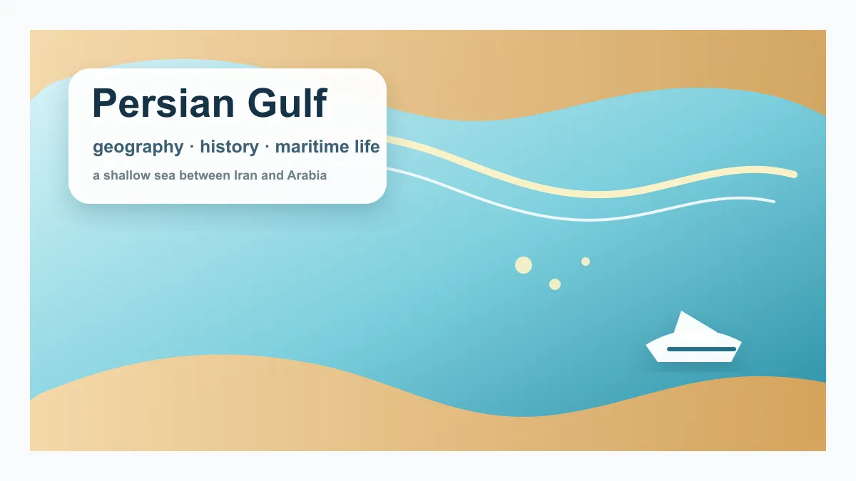
The Persian Gulf is a shallow sea between the Arabian Peninsula and southwestern Iran. It is a geographic place first: a warm, semi-enclosed body of water with islands, coastal plains, long trading histories, and communities shaped by fishing, pearl diving, ports, and maritime routes.
This page explains the Persian Gulf itself before discussing its modern economic role. It covers location, physical characteristics, history, coastal states, naming, ecology, shipping, and energy without reducing the region to oil and LNG alone.
Quick summary
- The Persian Gulf is a shallow sea between Iran and the Arabian Peninsula.
- It has been a maritime crossroads for trade, fishing, pearl diving, and port cities for centuries.
- It is warm, shallow, saline, and ecologically sensitive, with islands, coral areas, mangroves, and coastal wetlands.
- Its modern role includes shipping, energy exports, ports, tourism, and regional urban development.
Key summary table
| Key factor | Meaning |
|---|---|
| Geography | A shallow sea between the Arabian Peninsula and Iran |
| Natural features | Warm, shallow, saline waters with islands, reefs, mangroves, and coastal wetlands |
| History | Long associated with trade routes, fishing, pearl diving, and port settlements |
| Coastlines | Linked to Iran, Iraq, Kuwait, Saudi Arabia, Bahrain, Qatar, the UAE, and Oman’s Musandam area |
| Modern role | Important for ports, shipping, energy exports, tourism, and coastal cities |

Physical characteristics
The Persian Gulf is relatively shallow compared with many open seas. Its average depth is often described as modest, and the enclosed shape of the basin makes water exchange slower than in fully open ocean settings. High evaporation, low rainfall, and limited freshwater inflow help make the gulf relatively saline.
Its coastal environments include sandy shores, tidal flats, mangroves, coral areas, seagrass beds, and islands. These ecosystems are important for fish, migratory birds, coastal communities, and local livelihoods, but they are also sensitive to heat, coastal construction, dredging, pollution, and oil-related activity.
History and maritime life
For centuries, the Persian Gulf was part of Indian Ocean trade networks linking Mesopotamia, Persia, Arabia, South Asia, and East Africa. Ports around the gulf handled dates, textiles, spices, horses, pearls, fish, and later industrial goods. Long before oil became the dominant global association, the gulf was known for coastal trade, boatbuilding, fishing, and pearl diving.
Pearl diving was especially significant in several Gulf communities before cultured pearls and the oil economy changed local livelihoods in the twentieth century. This history matters because it shows that the Persian Gulf is not only an energy corridor; it is also a cultural and maritime region with older social and commercial layers.
Where is the Persian Gulf?
Britannica describes the Persian Gulf as a shallow marginal sea of the Indian Ocean between the Arabian Peninsula and southwestern Iran. It is bordered by Iran to the north and east, and by Gulf states including Iraq, Kuwait, Saudi Arabia, Bahrain, Qatar, the United Arab Emirates, and part of Oman around the wider outlet area.
The gulf opens toward the Gulf of Oman through the Strait of Hormuz. That geography matters because energy exports produced around the gulf often need to move through ports, tanker routes, and one narrow exit before reaching Asia, Europe, and other markets.
| Coast or country | Main connection |
|---|---|
| Iran | Northern coastline and major energy geography |
| Iraq | Southern export access through the Gulf area |
| Kuwait | Oil exports tied to Gulf shipping routes |
| Saudi Arabia | Major oil exporter with both Gulf ports and some alternative routes |
| Bahrain | Island state in the Gulf with energy and logistics links |
| Qatar | Major LNG exporter linked to Gulf sea routes |
| United Arab Emirates | Major energy and logistics hub, including Fujairah outside Hormuz |
| Oman | Musandam area near the Strait of Hormuz and Gulf of Oman access |
How is it connected to the Strait of Hormuz?
The Persian Gulf and the Strait of Hormuz should be understood together. The gulf is the basin where many energy ports and production systems are located. The Strait of Hormuz is the narrow maritime exit that connects the gulf to the Gulf of Oman, the Arabian Sea, and the Indian Ocean.
EIA and IEA both treat the Strait of Hormuz as one of the world’s most important oil chokepoints. IEA notes that around 20 million barrels per day of crude oil and oil products moved through the strait in 2025, around a quarter of global seaborne oil trade. That figure is about Hormuz, but the reason it matters is the concentration of Persian Gulf energy exports behind it.

Modern energy and port role
The region around the Persian Gulf contains several of the world’s major oil and gas producers. Oil, petroleum products, natural gas, and LNG exports from this area feed into global pricing systems, even when final customers are thousands of kilometers away.
For oil, the gulf matters because large export volumes can move by tanker from nearby terminals. For LNG, the gulf matters because Qatar is a major exporter, and some UAE volumes are also connected to the wider Gulf shipping system. For industrial costs, the region matters because energy prices influence electricity, refining, chemicals, fertilizers, aviation, and freight.
In simple terms:
Persian Gulf production
→ ports and export terminals
→ tanker and LNG carrier routes
→ global energy prices
→ business and consumer costs

Oil, LNG, and maritime shipping
Energy is not only produced in the Persian Gulf region. It must also move. That makes ports, tankers, LNG carriers, insurance, and route safety part of the economic story.
When route risk rises, shipowners and insurers can price the journey as more expensive. UNCTAD has explained that disruption around Gulf routes and Hormuz can affect energy markets, maritime transport, insurance, supply chains, food prices, and cost-of-living pressure. These effects do not always appear immediately, but they can move through import prices, freight contracts, and energy bills.
| Cost channel | How it works |
|---|---|
| Marine insurance | Higher perceived route risk can raise premiums |
| Freight cost | Tankers and cargo ships can face higher operating costs |
| Fuel cost | Energy-market tension can affect bunker fuel and shipping expenses |
| Delay cost | Waiting, rerouting, or congestion can add costs |
| Import prices | Higher transport costs can be passed into traded goods |

How the Persian Gulf connects to the global economy today
The global economy watches the Persian Gulf because energy is a basic input for almost everything. Oil affects transport, logistics, aviation, petrochemicals, and consumer fuel. Natural gas and LNG affect electricity, heating, industrial production, and fertilizer costs.
Even countries that import little directly from the Persian Gulf can still be affected because oil and LNG are globally traded. If supply concerns lift benchmark prices, costs can spread through global markets. Central banks, companies, and households may all feel the effect through inflation expectations, investment decisions, and cost-of-living pressure.
The broad pathway is:
Energy or route tension
→ oil and LNG price risk
→ higher transport and insurance costs
→ pressure on import and production costs
→ inflation and growth concerns
A note on the name
This article uses “Persian Gulf,” the widely used international English name and the term used by Britannica and many global references. Some governments and regional institutions use other names, including “Arabian Gulf.” For this glossary page, the focus is not the naming dispute, but the region’s geography, energy flows, shipping routes, and economic importance.
Food and fertilizer connections
The Persian Gulf’s energy role also touches food systems. Natural gas is a key input for ammonia and nitrogen fertilizer production. If gas prices or shipping costs rise, fertilizer can become more expensive, and that can raise agricultural production costs.
The pathway is:
Natural gas and shipping costs
→ fertilizer production and transport costs
→ agricultural input costs
→ food-price pressure
UNCTAD has highlighted how energy, fertilizer, and shipping disruptions can raise risks for food security and trade, especially for economies that rely heavily on imported fuel, fertilizer, or food.


Key takeaways
- The Persian Gulf is a shallow sea between Iran and the Arabian Peninsula.
- Its surrounding states include several major oil and gas exporters.
- The region’s exports are closely tied to ports, tankers, LNG carriers, and the Strait of Hormuz.
- Risk around Gulf routes can affect energy prices, insurance premiums, freight costs, and import prices.
- The effects can reach inflation, fertilizer costs, food prices, and global growth.
- The Persian Gulf is best understood as an energy and maritime system, not just a geographic label.